Products
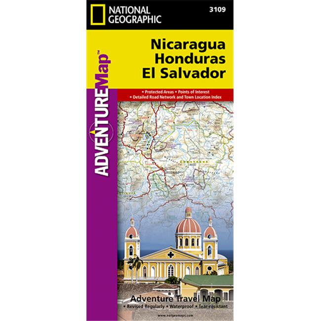
National Geographic Maps AD00003109 Nicaragua Honduras El Salvador Map
Upgrade to unlock this product- Shipping Cost (lower 48): $14.03
- SKU: NAGGR238
- Asin: B005JBLM84
- Manufacturer Part #: AD00003109
- Qty Available: 2133
- Shipped By: 4 days
- Stock: In Stock
Please login to view pricing details.
Product Description
Nicaragua, Honduras, El Salvador AdventureMap is designed to meet the unique needs of adventure travelers, detailed, durable, and accurate. Nicaragua/Honduras/El Salvador includes the locations of thousands of major cities and towns with an index for easily locating them, plus a clearly marked road network complete with distances and designations for highways, roads and more. What sets National Geographic AdventureMaps apart from traditional road maps are the hundreds of points-of-interest that highlight the diverse, unique, and exotic destinations within Nicaragua, Honduras, and El Salvador including national parks and reserves, World Heritage sites, archeological sites, churches, castles, and museums. The front side of the Nicaragua/Honduras/El Salvador map includes Honduras and El Salvador, two countries whose coastlines offer wonderful opportunities to surf, scuba dive, snorkel, or just soak up the sun. Sites for these activities and more are noted, as are hotels, lodges, and resorts. Nicaragua covers the back side of the map, and its detail includes diverse points of interest from museums and historical sites in Managua and Granada to areas noted for windsurfing, fishing, and observing the country's unique wildlife. The map is two-sided. Each National Geographic AdventureMap highlights the Protected Areas along with a legend detailing the types of boundaries included. Popular Places Included on the Map: Bay Islands, Bosawas Biosphere Reserve, Copan, Granada, La Libertad, Lake Nicaragua, Managua, Mayan Site of Copan Ruins, Mosquito Coast, Ometepe Island, Roatan, San Juan del Sur, San Salvador, Tazumal, and Tegucigalpa.
 upgrade to unlock this product
5373261 TSA-Accepted Luggage Lock, Black - Pack of 2
upgrade to unlock this product19.0 x 13.0 x 13.0 in. Cajon Travel Storage Bag
upgrade to unlock this product13.0 x 13.0 x 20.0 in. Cajon Travel Storage Bag
upgrade to unlock this product163330 6.25 x 4.75 in. Clear Travel Pouch - Clearly
upgrade to unlock this productG3-84 Electronics Accessories Grey Stripe Travel Organizer & Gadget Bag
upgrade to unlock this product